One of Germany’s biggest apps with 4 million users and yet pretty much unheard of here, Komoot is a one-stop shop for route planning and trail discovery.
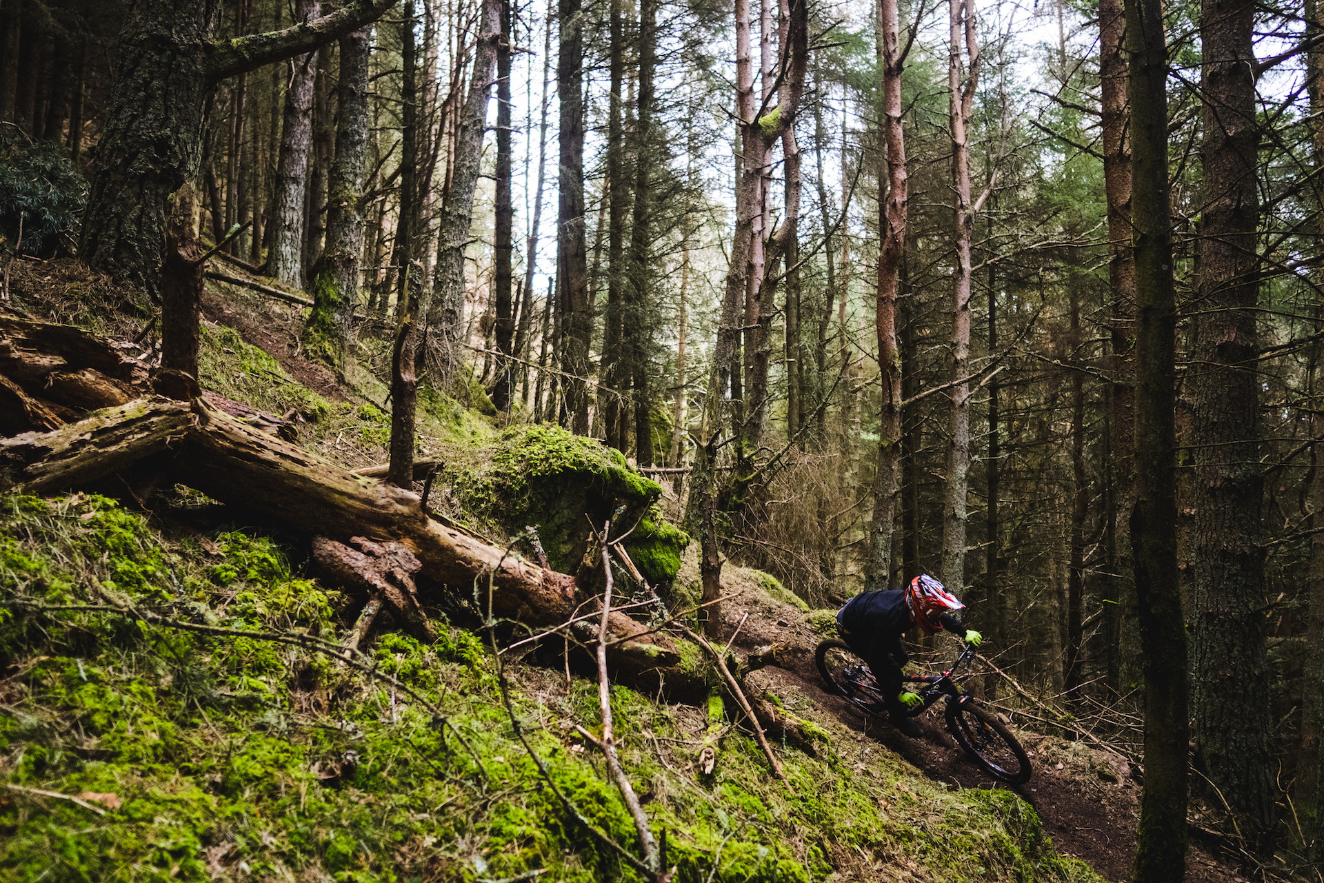
Going down to your local trails or on an uplift day, this app probably won’t reveal too much; Firstly Komoot is geared more towards helping you when you’re out in the wilds and secondly because it hasn’t really built up a user base in this country yet. If you fancy an epic schlep in the sticks though, this could well be the app for you.

So what makes Komoot stand out from the competition? While it isn’t yet populated as much as Trailforks or Strava in the UK, it offers a number of nifty features that could get you to stray away from the mtb’ers favourites.
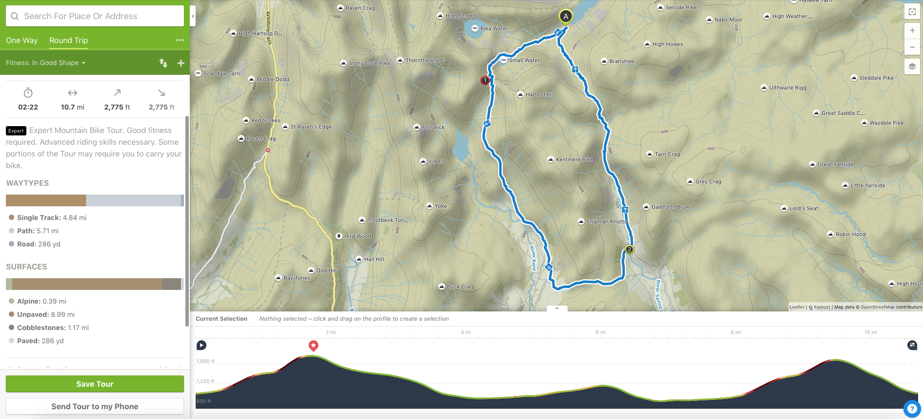
Firstly it’s a full on route planning tool. Yes, it lets you know where the best trails are but Komoot will also get you from one to the next in the best route possible. Before you head out, you’ll be able to know exactly how to link up the trails you want to ride, how long the ride will take you and how technical your ride is going to be thanks to a pretty detailed breakdown of surface types and an interactive elevation profile.
Users can create ‘Highlights’ of outstanding sections of trail with photos and information for other riders. These remain on the map for others to see exactly what a trail involves before deciding to ride it – no more ‘blue’ route towpaths or fences half way down high speed descents. It’s a big help to be able to see what to expect in terms of technicality when British Rights of Way can be a pretty huge omnishambles at times.

Finally, it functions as a sat nav when you’re out on the trail and will tell you where and when to turn to keep on route. You don’t even have to mount it on your bars as it will speak to you from your pocket. It’s also smart enough to re-route you on the fly if you see a fun trail that takes your fancy and decide to nip down it.
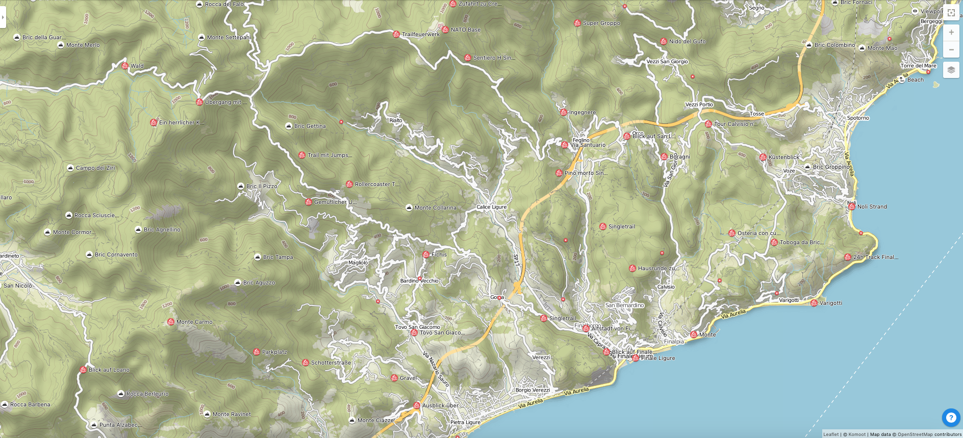
We’ve found using Komoot pretty intuitive both for planning and navigating with a familiar interface. As we’ve alluded to, its potential will not be realised until more people start using it but take a look around ze Germans’ favourite mtb destination, Finale Ligure, for proof of the pudding.
I tried it in the Forest of Dean, where it didn’t seem to have registered many of the Pedalabikaway trails (apart from the first 50 metres of Sheepskull) but up in the Lakes, where I was brought up, it picked out the bridleway routes I would have on some classic routes, so top marks there. Also, in a couple of weeks Komoot will launch ‘off-grid routing’, letting you plot a route wherever you like, even if existing trails aren’t on the map.
It’s free to use long as your phone stays in mobile data (if not you have to buy maps to download to your smartphone for use offline separately) and is available for Android phones from Google Play, iOS from the iTunes app store and online at www.Komoot.com.